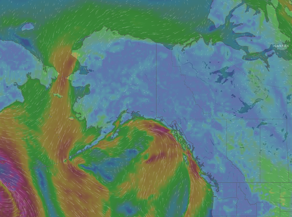
Here is a list of tools we use to plan our kiting activities in Haines. Please send us your spot’s resources and we can get them added. The cool map on the locations page has icons that show current windspeeds. If you have a personal weather station at your spot, please send us the link….
Anchorage Area
Kitesurfing:
- National Weather Service – Turnagain Arm
- McHugh Creek weather
- More McHugh Creek weather
- Wind reports for all spots south of Anchorage….
Also see Valdez, below.
Haines Area
In Haines we use the following links to plot our kitesurfing sessions: Airport Conditions, Eldred Rock Report, Haines Marine Forecast.
For snowkiting, we use Airport Conditions, HNS Highway – 36 Mile, Haines Highway Weather and the Haines Snow Report
Homer Area
If you’re looking to kite in Homer you can check out the Homer weather page for conditions.
Optionally, if you want to see the weather at the end of the Spit, the Port & Harbor website has a good weather sticker driven by a weather station at the boat harbor.
Juneau Area
The folks at http://kitejuneau.com provided these links for general weather and for wind: NOAA and Juneau Wind
Bill Glude has the best Juneau site information…..